World Route Generator
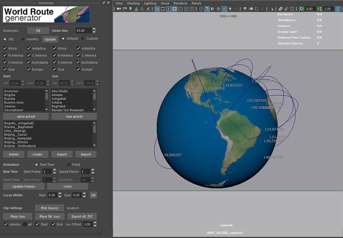
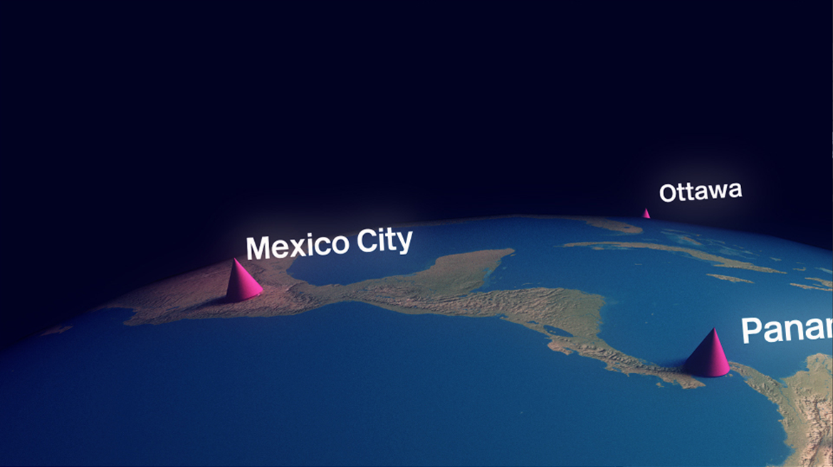
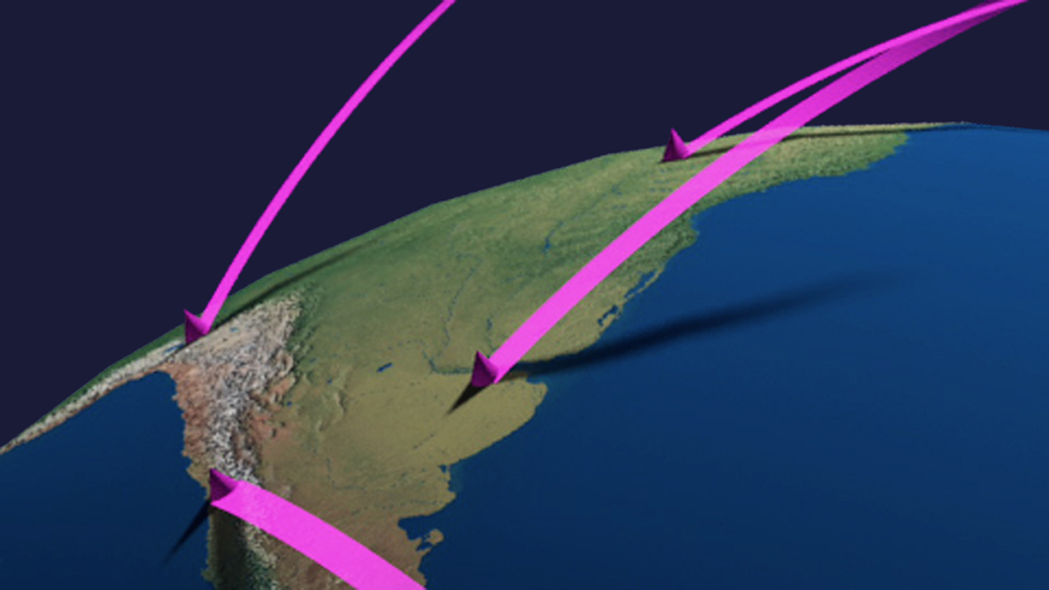
A visualisation GUI/tool in Maya for visualising routes between world capitals using Latitude and Longtitude data. Just use the GUI to pick the cities and animated curves link them up. Its all pretty well customisable so animation timing, colors, globe styles can be tweaked on an individual or global basis.
Technical Overview: Put this together using Pymel coding and QT designer for the GUI elements that work in Maya and rendered in 3delight/renderman. The curves carry all the color and frame settings with primitive variables so the scene geometry is light and the rendering quick.
Tools used: QTDesigner, Maya,Pymel,3delight/Renderman


